

About Grand Lake
BACKGROUND
Grand Lake O’ the Cherokees, more commonly known as Grand Lake, is the northeastern most man-made lake in Oklahoma. It was initially filled in the summer of 1940 following the completion of Pensacola Dam. Most of the water in Grand Lake flows into Oklahoma from east-central Kansas through the Neosho River, with two other major rivers and several smaller streams feeding the lake. The Spring River, at 129 miles long, starts in Missouri and flows through Kansas into Oklahoma where it joins the Neosho at the area known as Twin Bridges. The Elk River’s 32-mile journey also begins in Missouri and ends in Oklahoma near Reed Point. While the Elk River does not flow through Arkansas, a portion of its watershed is in the northwest corner of Arkansas.
The Oklahoma Department of Environmental Quality and the Oklahoma Water Resources Board have identified beneficial uses, that is, how clean water “benefits” it many users. The Beneficial Uses as designated by the OWRB for Grand Lake, and therefore Lake O’ the Cherokees Sub-Watershed are:
Public and Private Water Supply
Fish and Wildlife Propagation
Irrigation Agriculture
Primary Body Contact Recreation
Aesthetics
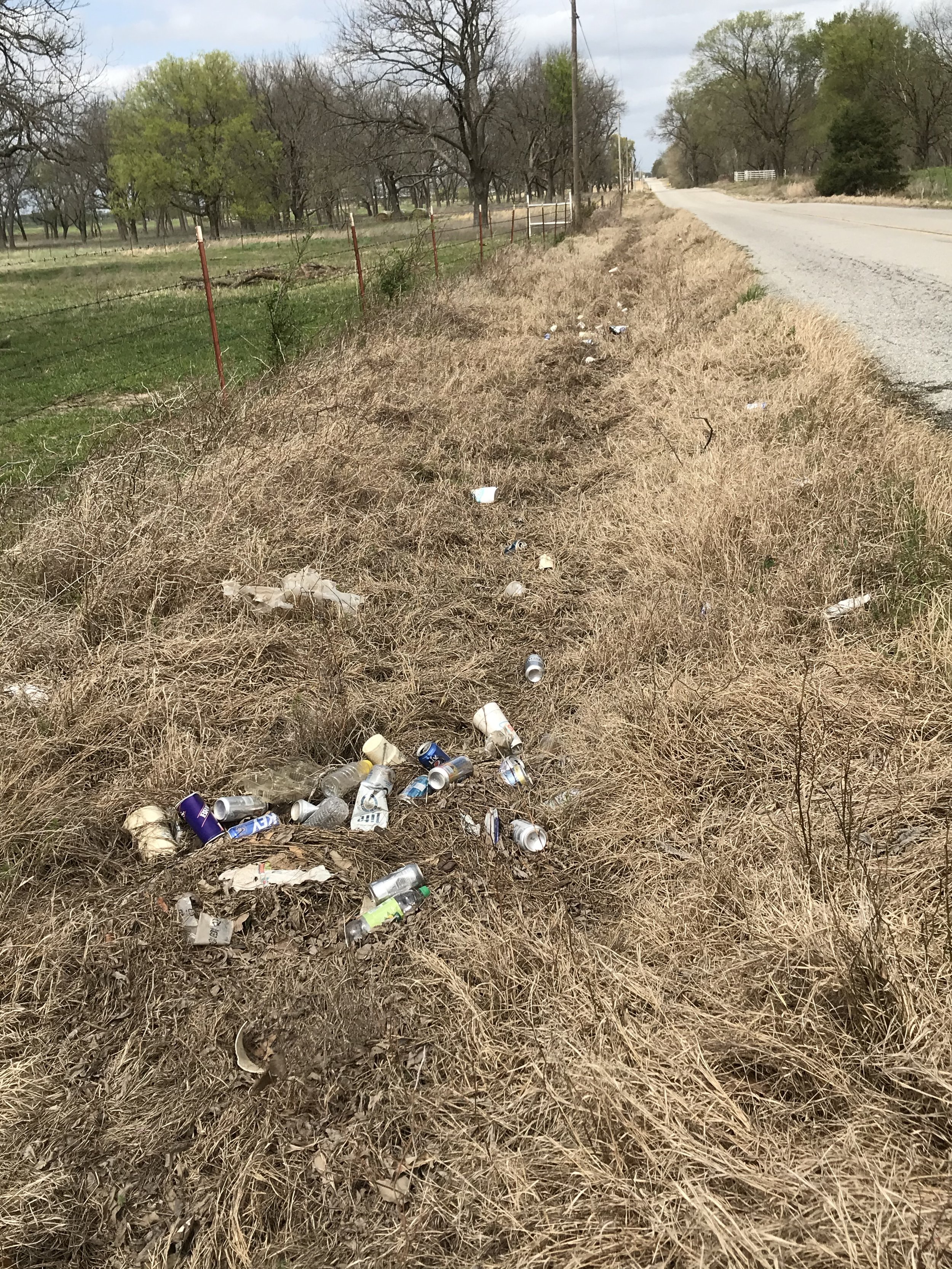
Roadside trash in the Horse Creek Watershed contributes to pollution in Grand Lake
During its 80+ year life, Grand Lake has been impacted by agricultural runoff, mining byproducts and waste, animal feeding operations impacts, effluent from wastewater treatment plants, urban runoff and onsite waste disposal systems. This has resulted in impaired water quality and the inability to meet the fish and wildlife propagation beneficial use. This is due to low dissolved oxygen in the middle and lower portions of the lake and turbidity in the upper portion. (Parsons) Many of the smaller streams that flow into the lake are impaired for bacteria, total dissolved solids, lead and sulfate. (ODEQ)
ECONOMIC IMPACTS
RECREATION & TOURISM
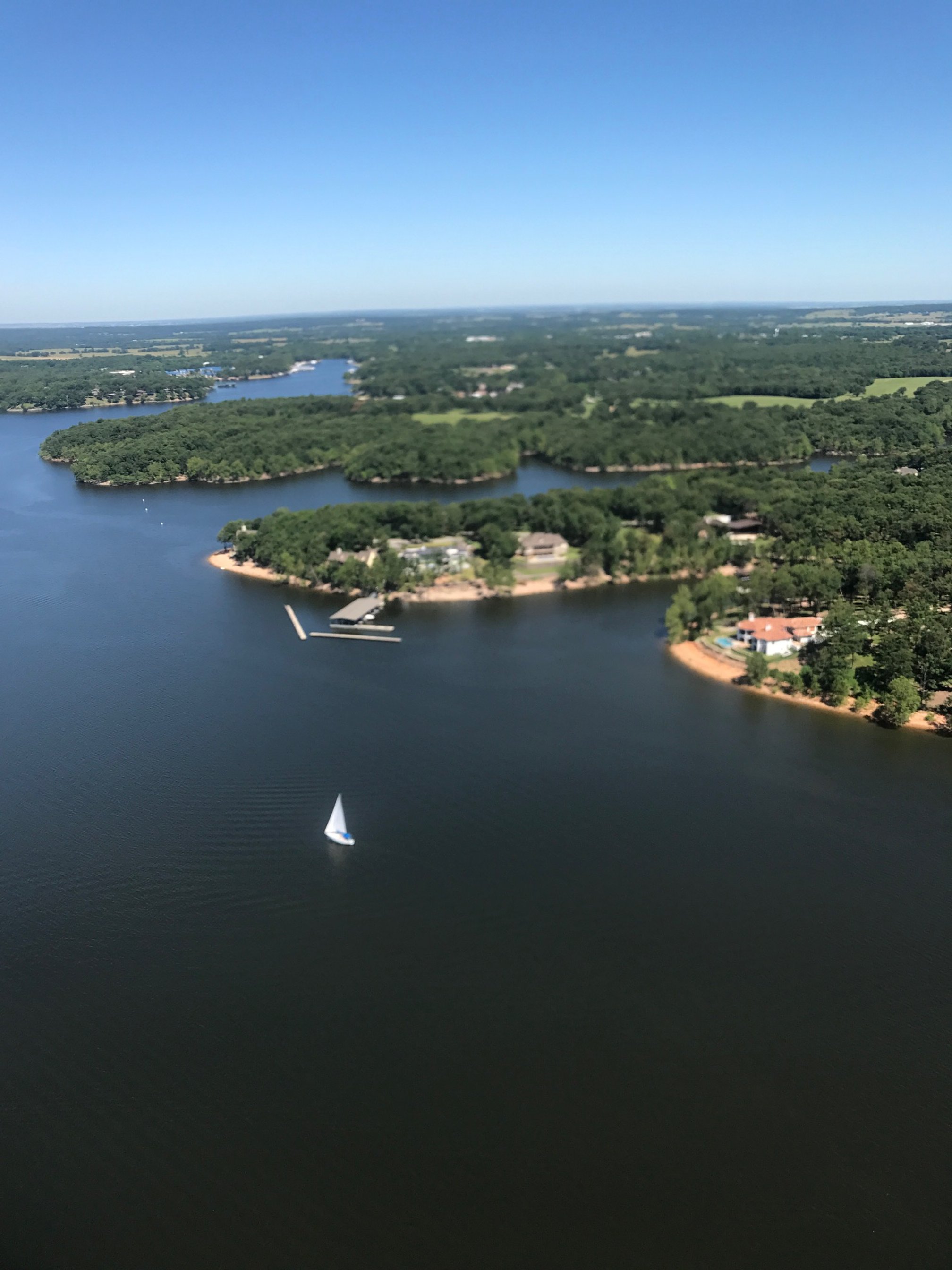
While initially built for flood control and electric generation, LOTC has become an economic engine for northeast Oklahoma. The lake is used for recreation (boating, fishing, swimming, etc.), professional sporting tournaments (fishing and boat racing), drinking water, irrigation and is home to many commercial marinas as well as full- and part-time residential homes.
In a 2018 report produced by Dean Runyan and Associates for the Oklahoma Department of Tourism and Recreation, the economic impact of tourism to the four-county area around Grand Lake is approximately $600 million in direct visitor spending. This study highlighted that travel and recreation employment accounted for over 6,000 jobs in the watershed counties.
PHYSICAL CHARACTERISTICS:
OVERVIEW OF THE FULL GRAND LAKE O’ THE CHEROKEES WATERSHED
To put the Lake O’ The Cherokees Sub-Watershed into perspective, it is important to understand its role within the entire Grand Lake watershed. The full Grand Lake O’ The Cherokees watershed covers 10,298 square miles. The watershed is located within the four states of Arkansas, Kansas, Missouri, and Oklahoma. It also traverses two separate Environmental Protection Agency Regions, includes ten Tribal areas, and has many county and local governments within its boundaries. The watershed has four major sub-watersheds:
Neosho River watershed
Spring River watershed
Elk River watershed
Grand Lake O’ the Cherokees (Lake) watershed